
Debby’s round 2 next: How much more rain can Sumter expect?
Downed trees and flash flooding still possible as storm will make 2nd landfall early Thursday
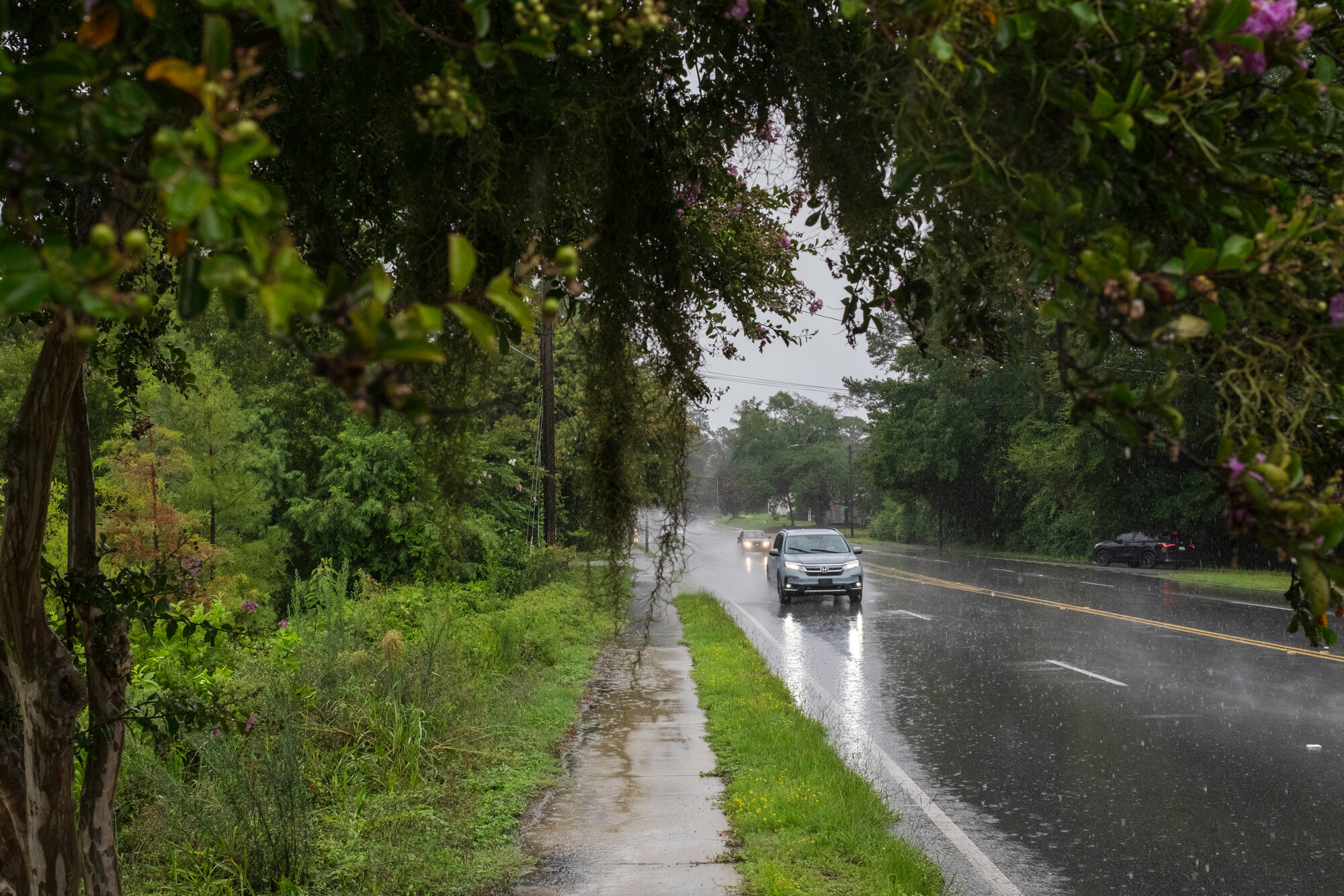
Sumter and surrounding areas can expect about another four inches of rain associated with Tropical Storm Debby as the storm re-enters the state early Thursday from the Atlantic Ocean.
Downed trees and the potential for flooded areas are also in the forecast for Thursday and early Friday, according to National Weather Service meteorologist Leonard Vaughan, based in Columbia, who spoke on Wednesday to The Sumter Item.
From Sunday through Wednesday morning, Sumter had already accumulated about four inches of rain from the tropical storm, he added.
Sumter and surrounding areas should not expect any tropical force winds on Thursday, but it will be a “little breezy,” Vaughan said, with wind gusts averaging 25 to 35 miles per hour. That doesn’t mean there’s no risk of falling trees and limbs.
“With the soil so saturated already due to rainfall, just a little bit of wind could topple some trees,” he said. “Trees that would not normally come down with winds of 25 to 35 miles per hour.”
Given that rainfall intensity will be picking up Wednesday night and Thursday, there will be more chances for flash flooding in areas, Vaughan added.
“Things are not as bad as they could have been. We’ve had a lot of rain, and it’s not over,” Gov. Henry McMaster said Wednesday at a 2 p.m. media briefing.
The governor described Debby’s next impacts as entering the second act in a three-act play. First was rain deluging Beaufort, Charleston and the Lowcountry. National Weather Service Warning Coordination Meteorologist John Quagliariello said during the briefing that the Lowcountry has so far received between 9-17 inches of rain.
As Debby sits offshore and moves at only 3 miles per hour, it is forecasted to gather some strength and bring the heaviest rain to northern South Carolina, Myrtle Beach, Horry County, the Pee Dee and Midlands for act two.
The third act, McMaster said, is after the rain has stopped and “all that water that has not yet come through the rivers will crest and come through.” Rain dumped in rivers in North Carolina will also flow south to get to the sea.
In terms of flash flooding, Vaughan emphasized for residents to not drive around barricaded roads.
“People should understand there is a reason there is a barricade on the road,” Vaughan said. “It’s there because either that road is flooded, or maybe it was flooded and is not safe to drive on. So, there are reasons that those barricades are there, and people need to obey those and not think they are smarter than the people who put them up there.”
On Thursday night, the tropical storm is expected to exit South Carolina and enter North Carolina. Then, Debby is expected to move quickly through Virginia and into the mid-Atlantic region, Vaughan added.
From Sunday through Wednesday morning, Sumter’s rainfall total at the City of Sumter Water plant was 4.23 inches, according to the weather service. Clarendon County led the tri-county region with tallies of 4.11 to 4.54 inches of rain in the same timeframe, according to cooperative observers with the weather service. In Lee County, observers tallied between 2.59 and 3.62 inches in the timeframe.
S.C. Department of Transportation Secretary Justin Powell said during Wednesday’s media briefing that 83 state-maintained roads were closed as of around 1 p.m. No interstates are closed, and the ramps at exits 22 and 33 to I-95 have reopened. Another 25 roads have also been reopened.
Robert Woods, S.C. Department of Public Safety director, said the agency received 1,191 calls for service on Monday and Tuesday, compared to 651 calls received during that same timeframe last year. Most calls have been for collisions and blocked or flooded roadways.
There have been no reports statewide of deaths or injuries related to Debby.