
UPDATED: Sumter, Lee, Clarendon counties under Winter Storm Warning again
Tri-county is forecast to see several inches of snow, extreme cold this weekend
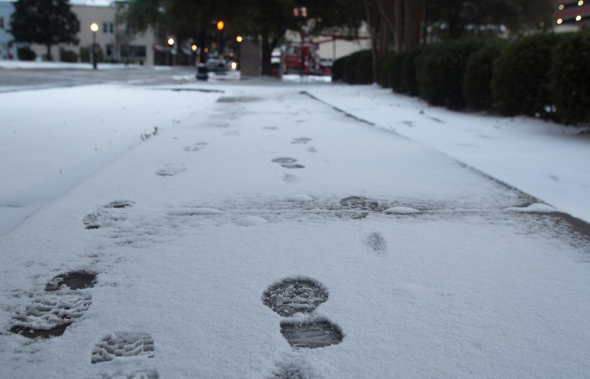
Set aside the ice scraper in favor of a wide plastic shovel this weekend.
For the second time in a week, Sumter, Clarendon and Lee counties may see winter weather. All the state's counties will be under a Winter Storm Warning beginning at 10 p.m. Friday. This time, the expected precipitation is snow. Residents could see several inches fall on Saturday with high wind gusts, enough snow for a snow angel or perhaps a snowman. The warning is in effect through Sunday, Feb. 1, at 10 a.m.
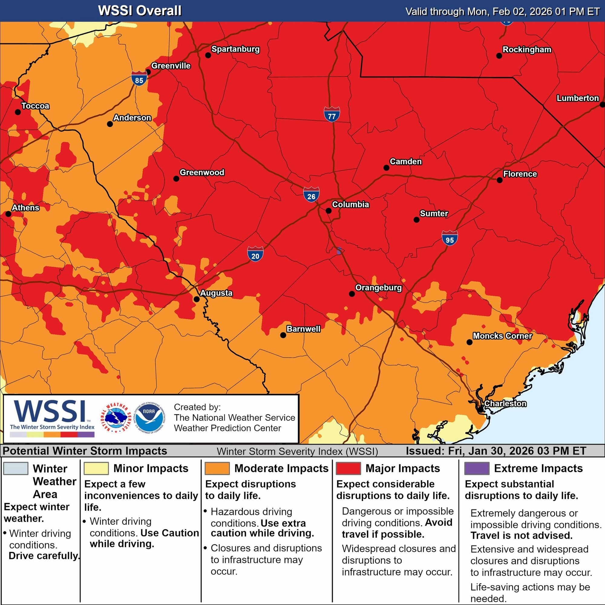
S.C. Gov. Henry McMaster announced Friday that "last Wednesday's state of emergency has remained in effect for this weekend." He warned to stay off the roads unless travel is necessary because of snow on roads and bridges that could freeze overnight Saturday.
It likely won't be quite the historic snowstorm Sumter experienced in 1973 (during which Rimini saw 24 inches), but because it will remain cold through the rest of the weekend, the snow may stick around for at least a day before it melts. The tri-county area is also under an Extreme Cold Warning from Saturday at 7 p.m. until Sunday morning at 10 a.m.
First, the snow.
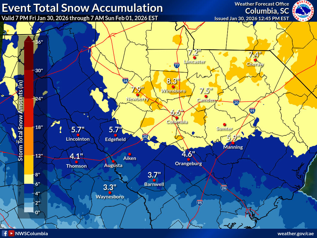
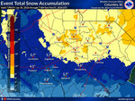
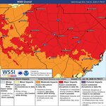
According to the National Weather Service, "heavy snow" is possible in a portion of north central South Carolina and revised its estimates for snow totals up, with "total snow accumulations between 6 and 9 inches" for Sumter, Lee and Clarendon counties. On Thursday afternoon, the NWS had estimated Sumter could receive between 5 and 8 inches. Winds could also gust as high as 35 mph, according to the organization. NWS warns that "roads, and especially bridges and overpasses, will likely become slick and hazardous. Travel could be very difficult."
According to a graphic released Thursday afternoon by the Columbia office of NWS, total snow accumulation Sumter County could reach 6 inches. Most of Lee could also see 6 inches, with the northern part of the county forecast to receive 8 inches. Clarendon could see 6 inches in the northern part of the county and 4 to 6 in the southern part of the county. Areas north of the tri-county could see even more. Sumter, Lee and Clarendon counties might also see some freezing rain at the start of the watch time.
Second, the cold.
On top of the snow forecast for the area, the weather will be cold. NWS upgraded the Extreme Cold Watch for all three counties to a warning for overnight Saturday into Sunday with "dangerously cold wind chills as low as zero possible" for central South Carolina. The wind chill is what the forecast temperature will feel like on the skin, taking the wind speed into account. NWS warns that "frostbite and hypothermia will occur if unprotected skin is exposed to these temperatures. An extended period of freezing temperatures could cause ruptured water pipes. Dress in layers including a hat, face mask and gloves if you must go outside. Make frequent checks on older family, friends, and neighbors. Ensure portable heaters are used correctly. Do not use generators or grills inside."
NWS added precautions to its warning on Friday, including, "If you must travel, keep an extra flashlight, food, and water in your vehicle in case of an emergency. The latest road conditions for the state you are calling from can be obtained by calling 5 1 1."
The high temperature is not expected to reach above freezing in the tri-county on Sunday after the storm moves through. As of Friday afternoon, Sunday's forecast high temperature is 32 for Sumter and Bishopville and 31 for Manning. Monday's high temperature is expected to be slightly warmer but remain in the high 30s to low 40s. Lee is expected to see 39 degrees as its high on Monday. Clarendon and Sumter are expected to reach 40 degrees as the high temperature for the day. All three counties' low temperatures will be in the teens Monday night.
For anyone who may need a place to spend a warm night, the main emergency shelter at Sumter United Ministries is at 36 S. Artillery Drive and is open daily from 4 p.m. to 8 a.m. the next day. The winter weather shelter at 215 Pine St. has been open since Jan. 22 from 7 p.m. to 7 a.m.
Sumter's forecast as of Friday, from NWS
- This afternoon
Mostly sunny, with a high near 51. Northeast wind around 6 mph.
- Tonight
A chance of rain and snow before 1 a.m, then a chance of snow and freezing rain between 1 a.m. and 2 a.m., then a chance of snow after 2 a.m. Mostly cloudy, with a low around 24. Northeast wind 6 to 9 mph. Chance of precipitation is 40%. New snow accumulation of less than a half inch possible.
- Saturday
Snow, mainly after 2 p.m. The snow could be heavy at times. High near 29. Northeast wind 10 to 14 mph. Chance of precipitation is 90%. New snow accumulation of 2 to 4 inches possible.
- Saturday Night
Snow, mainly before 1 a.m. The snow could be heavy at times. Low around 15. North wind 14 to 16 mph, with gusts as high as 26 mph. Chance of precipitation is 80%.
- Sunday
Sunny, with a high near 32. Northwest wind 7 to 13 mph.
Clarendon forecast as of Friday, from NWS
- This afternoon
Partly sunny, with a high near 52. Northeast wind 3 to 5 mph.
- Tonight
A chance of rain, snow, and freezing rain before 2 a.m., then a chance of snow and sleet between 2 a.m. and 3 a.m., then a chance of snow after 3 a.m. Cloudy, with a low around 24. Northeast wind 5 to 7 mph. Chance of precipitation is 40%. New snow and sleet accumulation of less than a half inch possible.
- Saturday
A chance of snow and freezing rain before 10 a.m., then snow. High near 29. Northeast wind 8 to 13 mph, with gusts as high as 23 mph. Chance of precipitation is 80%. Little or no ice accumulation expected. New snow accumulation of 1 to 3 inches possible.
- Saturday night
Snow, mainly before 1 a.m. Low around 15. Northwest wind 13 to 15 mph, with gusts as high as 26 mph. Chance of precipitation is 80%.
- Sunday
Sunny, with a high near 31. Northwest wind 7 to 13 mph.
Lee County forecast as of Friday, from NWS
- This afternoon
Mostly sunny, with a high near 48. Northeast wind around 6 mph.
- Tonight
A chance of snow, mainly after 11 p.m. Increasing clouds, with a low around 23. Northeast wind 7 to 10 mph. Chance of precipitation is 50%. New snow accumulation of less than one inch possible.
- Saturday
Snow, mainly after 1 p.m. The snow could be heavy at times. High near 28. Northeast wind 13 to 16 mph. Chance of precipitation is 90%. New snow accumulation of 2 to 4 inches possible.
- Saturday night
Snow, mainly before 1 a.m. The snow could be heavy at times. Low around 14. Wind chill values as low as zero. Northwest wind 15 to 17 mph. Chance of precipitation is 80%.
- Sunday
Sunny, with a high near 32. Northwest wind 8 to 14 mph.
Follow The Sumter Item online before, during and after the storm for information that can help keep you safe and informed. All inclement weather coverage is accessible to read without a subscription, as a public safety service.